In order to facilitate backpacks and acclimatize our route on Tien Shan consists of two parts. First, we will do an acclimatization ring through the pass Titov. It will take 3 days. Then return to the starting point, we select zabrosku left there (food and fuel for the second part of the trip), and with his heavy backpacks are advancing to the main part of the route on the Trans-Ili Alatau.
Products for the campaign, we partially buy in Almaty (this has been an instructor), partly brought with them. If necessary, we will charge part of the "domestic" procurement participants hike. Dry crackers know how? This skill is vital to every true tourist :)
plan a hike on the Tien Shan
1 day. The group meeting in Almaty
Trip participants are buying tickets and fly (arrive by train) in Kazakhstan alone. In Alma-Ata (Almaty) relatively cheap to fly these airlines: AstanaAir ($ 372 from Kiev, $ 400 from Moscow), Ukraine International Airlines ($ 372 from Kiev), Transaero ($ 470 from Moscow). Instuktor will fly from Kiev to AstanaAir. The group meeting and a meeting with the instructor takes place in Alma-Ata in pre-booked hostel (we are working on it.) From the airport to the hostel can be reached by taxi or bus.
At about 20:00, when all fly off and work up, the band is going in a hostel in general, 10 to 15-seat room. Instructor distributes products (about 3 kg per person for acclimatization rings and 5 kg for the second part of the route) and fuel (we cook mostly on the burners), test equipment, rasskazyvet plans for tomorrow.
The hostel has a storage room, where the trek can be left loose items (such as clean clothes for the return trip). It is clear that money and leave laptops there should not be :)
Day 2. Almaty - Medeo - CHimbulak - climbing camp Tuyuksu - weather station Mynzhilki.
")


")


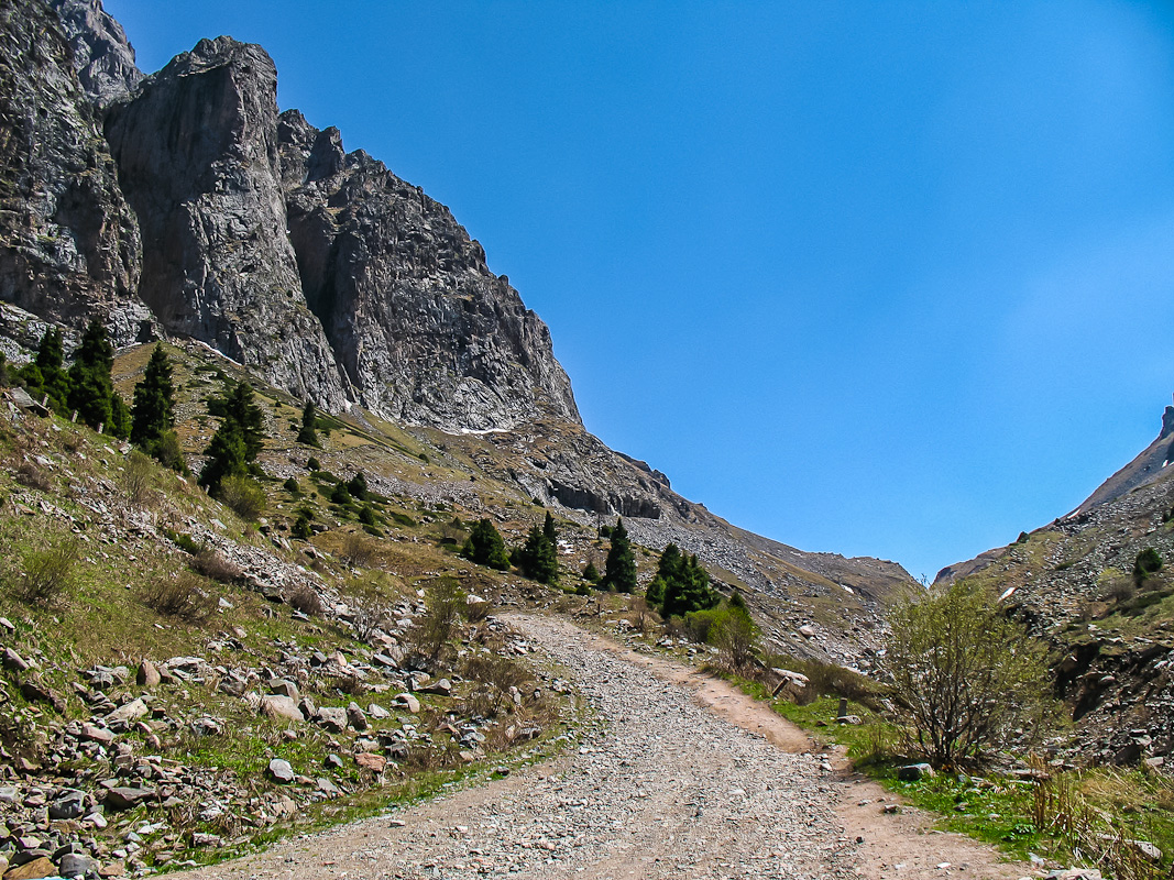
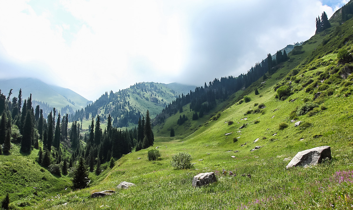
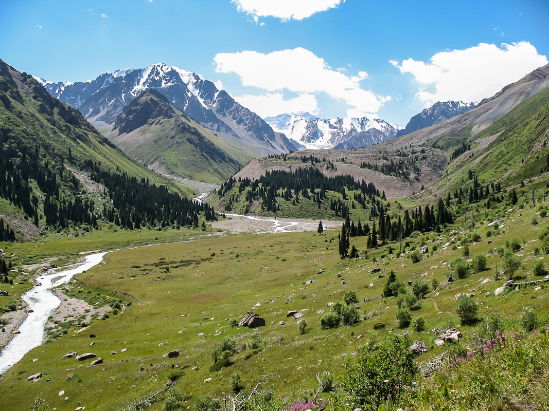
Early in the morning customized minibus takes us out of the hostel and driven into the mountains. On the way we pass the famous "mountain" Medeo skating rink. Set down on the basis of goronlyzhnoy Worldwide (height 2300 m). We reserve zabrosku. Finally, dress and backpacks are advancing up the canyon. We look Tuyuksu climbing camp memorial to the victims climbers. Further down the dirt road to the weather station Mynzhilki. Overnight in tents near the ruined barracks at an altitude of 3050m.
Distance: 8 km. Climb: 700 m
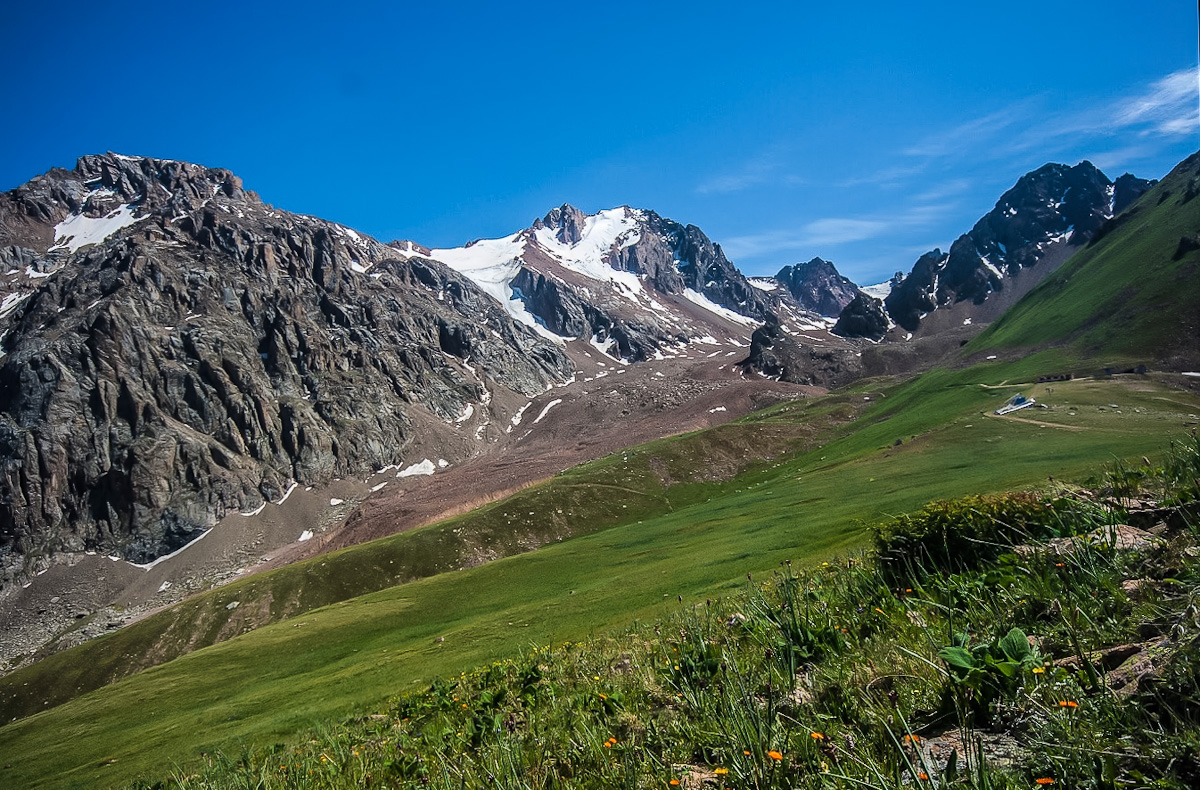
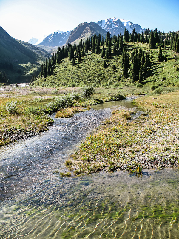
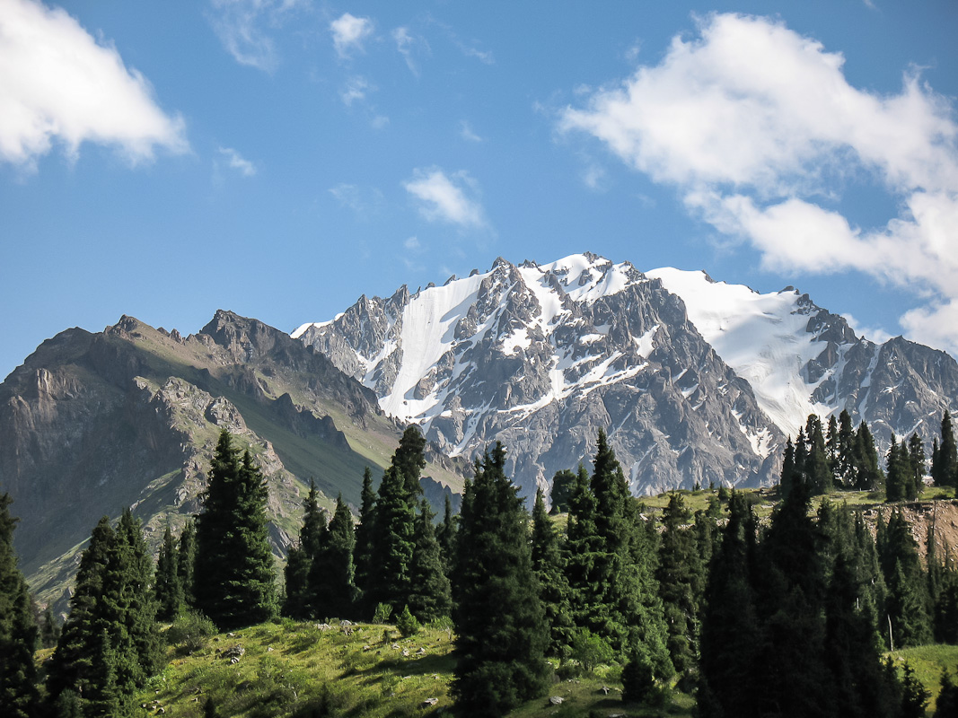
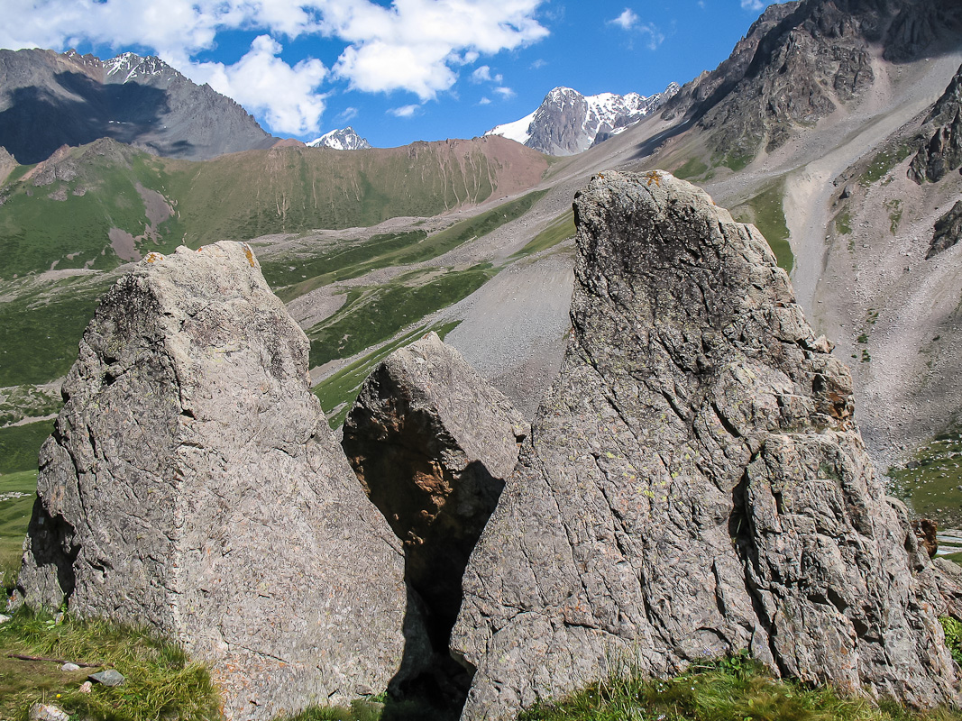
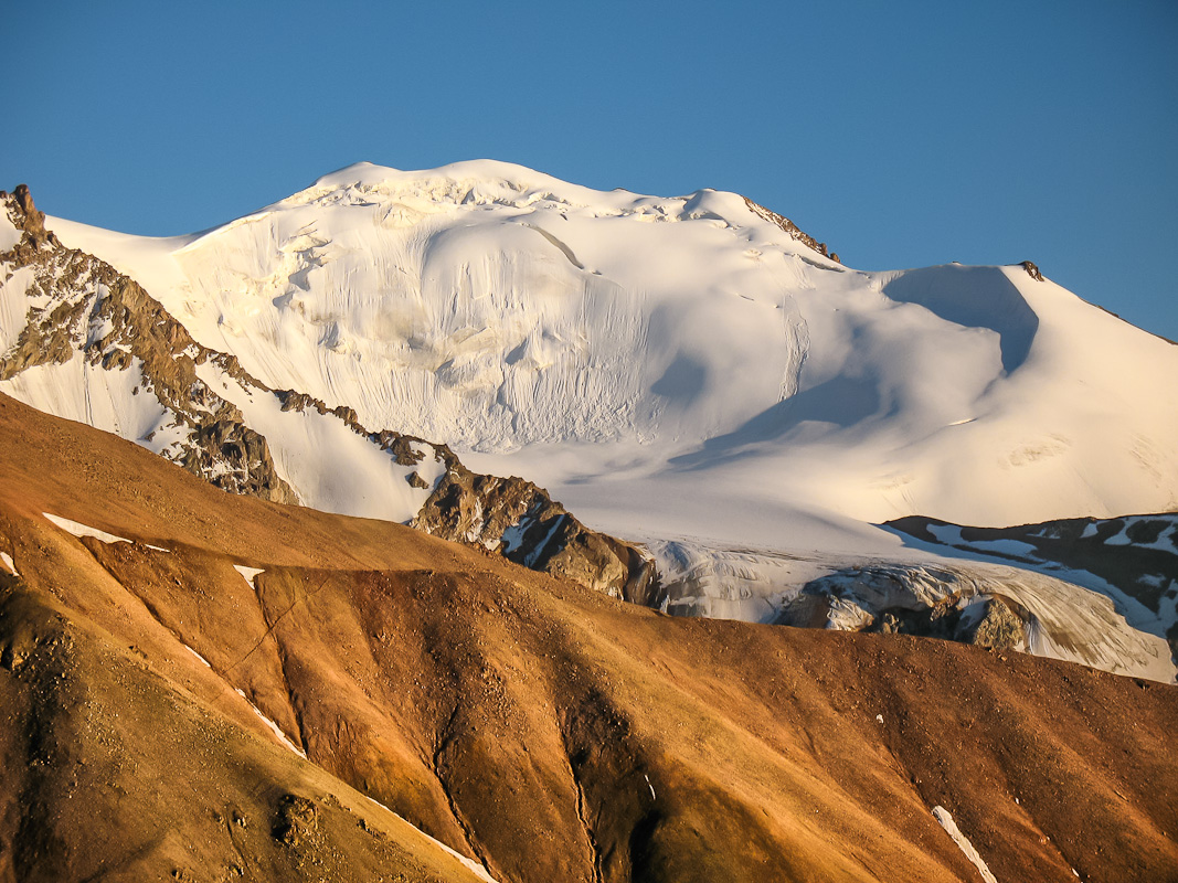
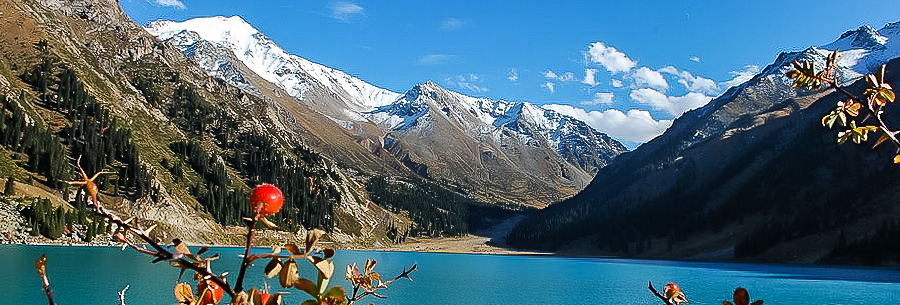
Begin to climb to the pass Titov (category 1A, height 3400 m). We go on the trail around the grassy slopes of the first, then rock slides. From the pass, overlooking the Circus Tuyuksu glacier, mountain moraine lake - Gorelnik source of the river. Descend from the pass over the tiny sypuhe. Accommodations at the moraine lakes (elevation 3300m). The water is cold, but you can take a dip. Firewood is not here, the fire did not pogreeshsya.
Distance: 4 km. Climb: 450 m
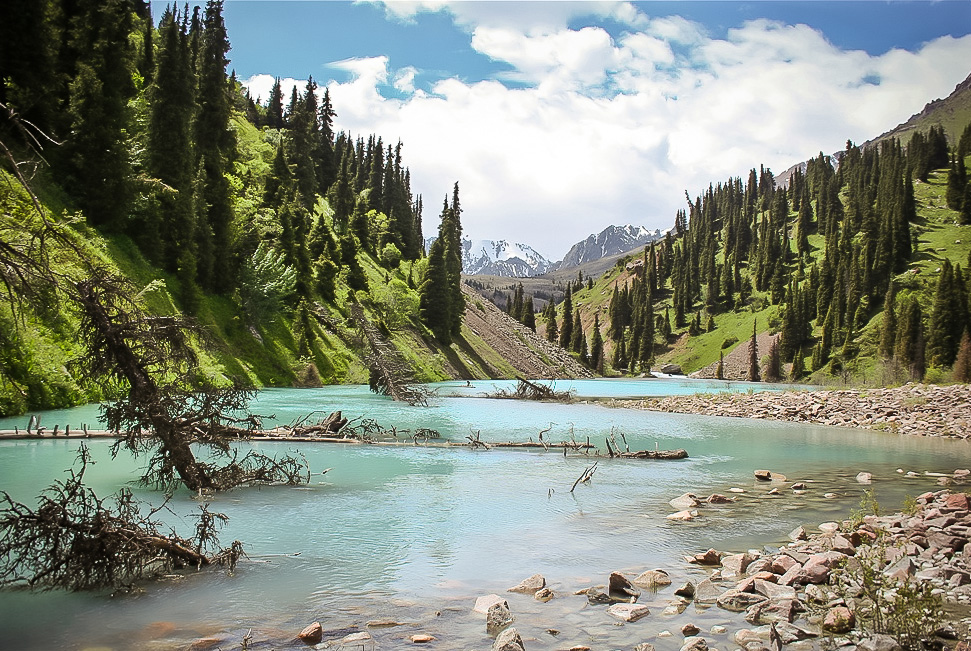
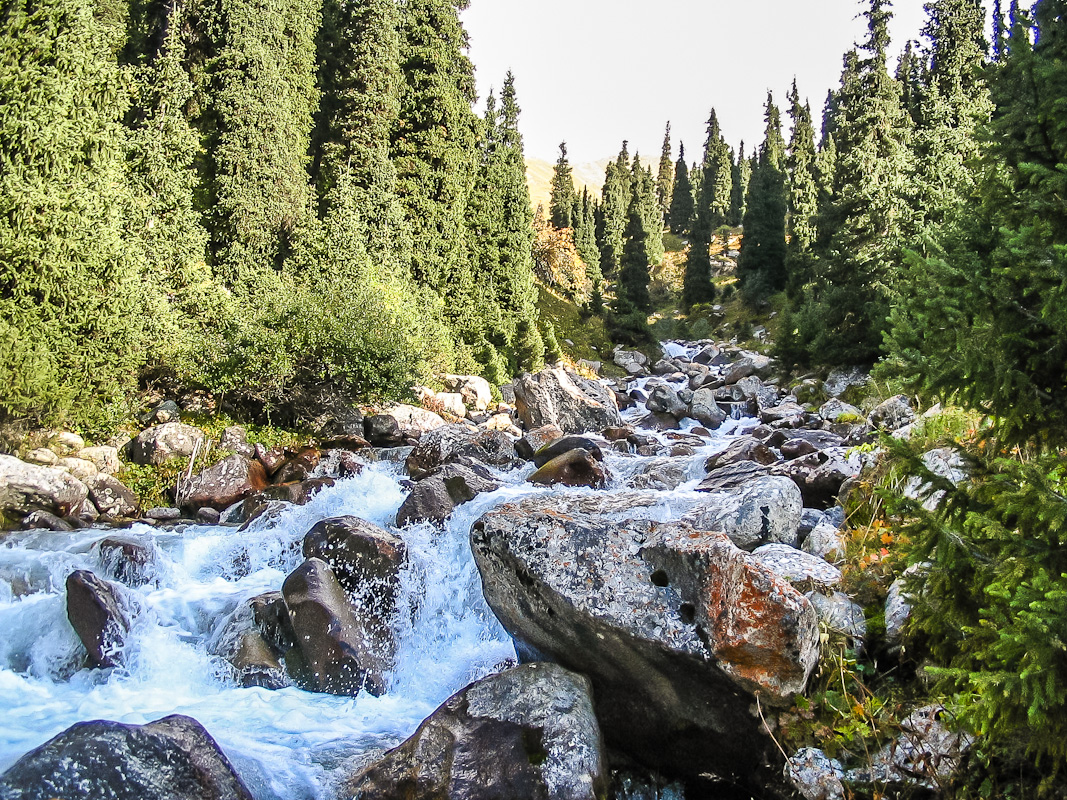
We go down the picturesque valley along the river Gorelnik. On the way we pass some great waterfalls. The second half of the way through the canyon passes through coniferous forest (real Tien-Shan spruce). Accommodations at the exit of the gorge, in the woods, not far from the tourist center Gorelnik (altitude 2100m).
Distance: 8 km. Climb: 100 m
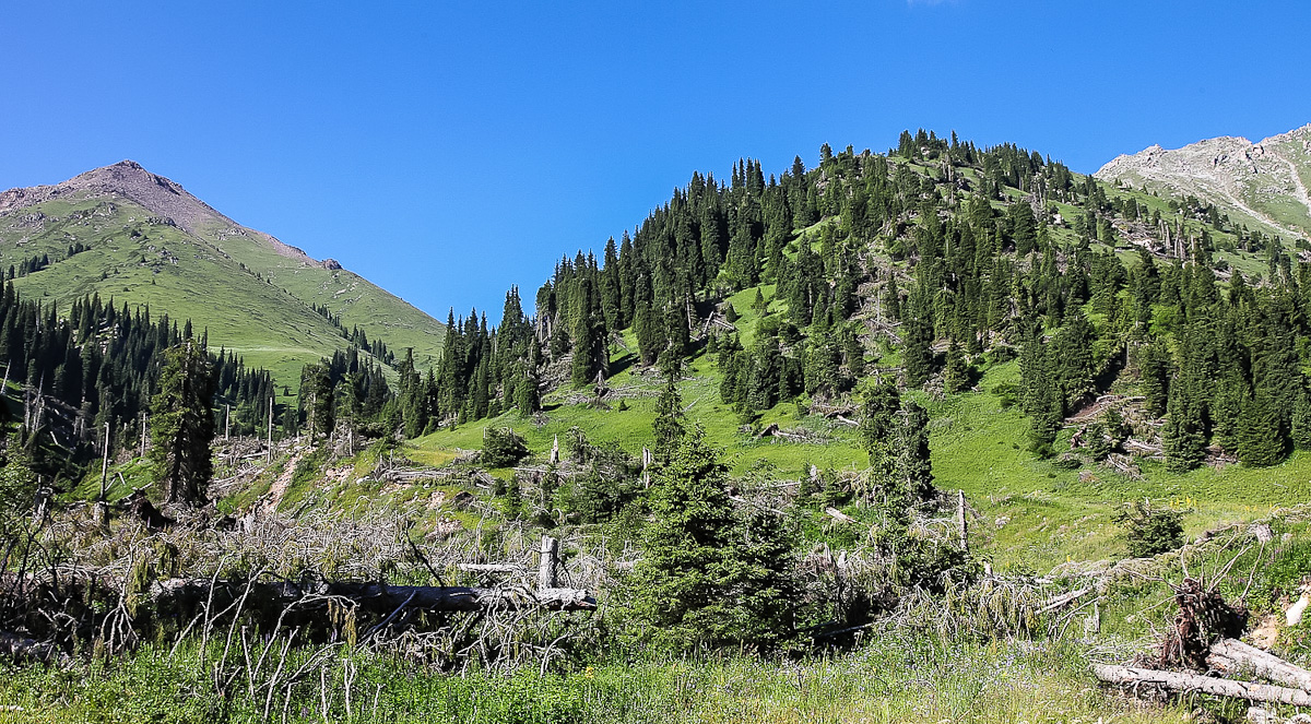
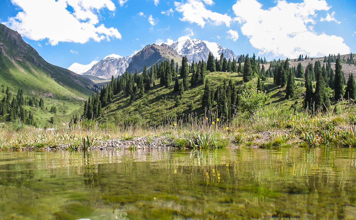
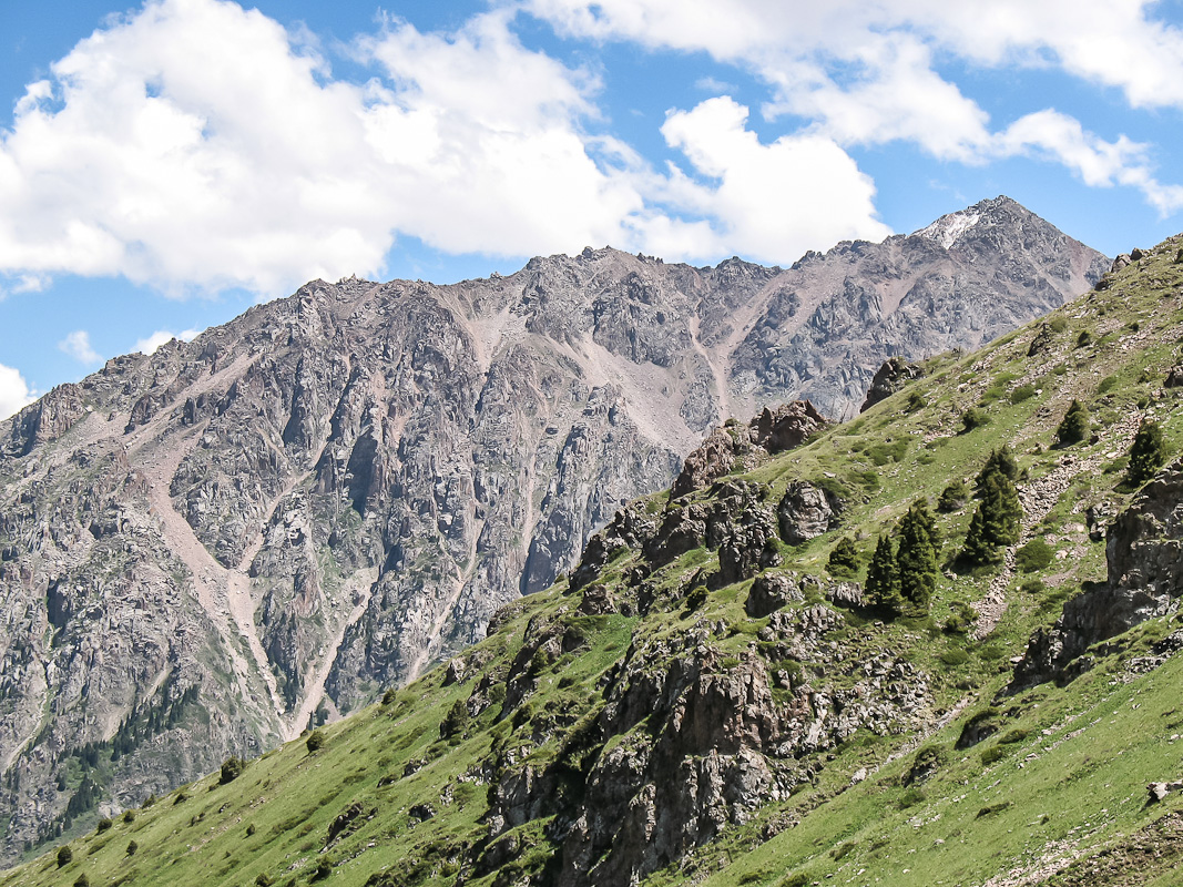
According to the familiar road climb to the village CHimbulak, pick zabrosku, distributed in backpacks. From the village to the cable car climb to the pass Talgarsky Large (IBP 3200 m). From the pass, a view of the peak of Komsomol (Nursultan) 4376 meters down on the sand and rocky path along the river dries up the river. Pass Pass Talgarsky Small (IBP 3100 m). Then a steep descent on a wooded slope. Accommodations at the river Left Talgar (height 2200 m).
Distance: 11 km. Climb: 600 m
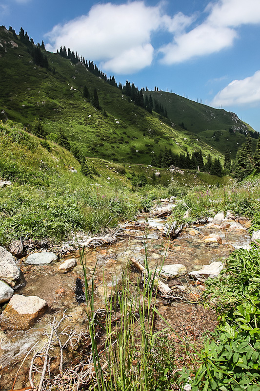
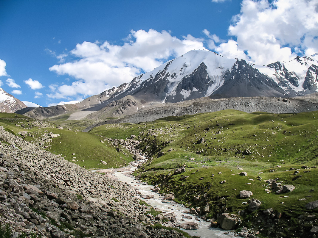
Slowly walk through the valley of the Left Talgar. Slowly, because the trail in the surrounding forests of huge amount of mushrooms and strawberries. Replenish stocks of vitamins :) At the overnight halt on the sunny meadow (elevation 2750m) - a very beautiful and surprisingly spacious, both for mountain location.
Distance: 8 km. Climb: 600 m
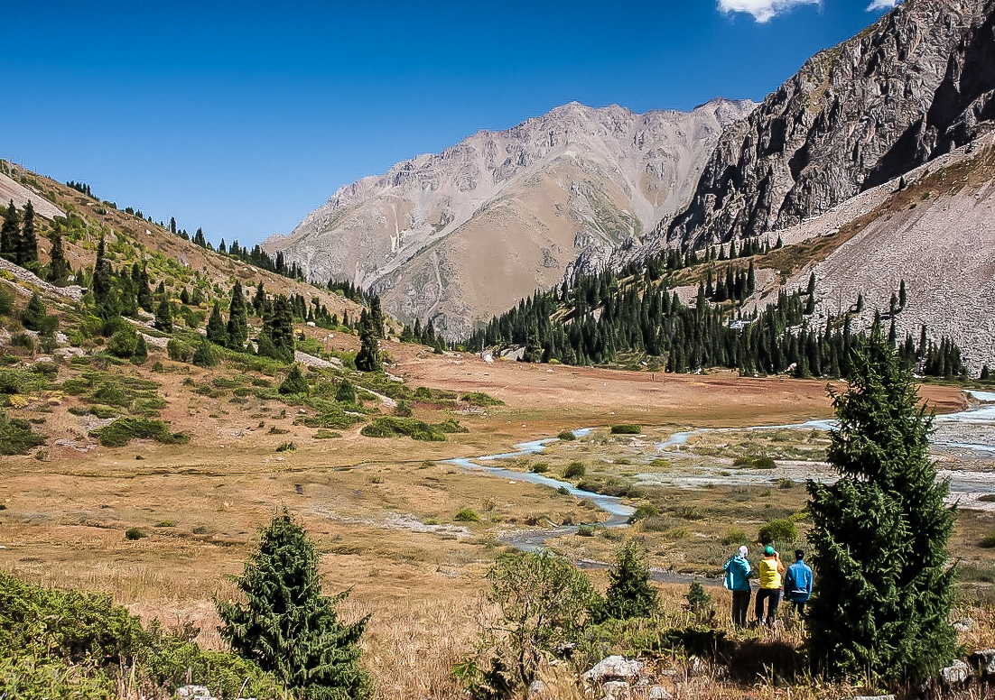
Poludnevka. The first half of the day is performed on the sunny meadow, rest. After lunch, continue the path. Go around the rocks obstructing moraine bottom of the gorge, we find ourselves in a hanging valley of the upper reaches of the Left Talgar. We go up to the confluence with the tourists, where up camp (altitude 3000 m).
Distance: 8 km. Climb: 300 m
h4> Day 8. Radial excursion to the glacier Dmitriev - the approach to the pass tourists.
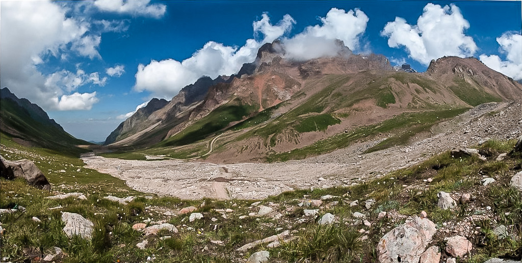
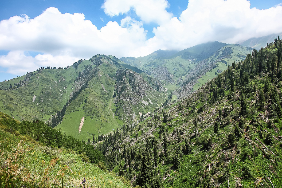
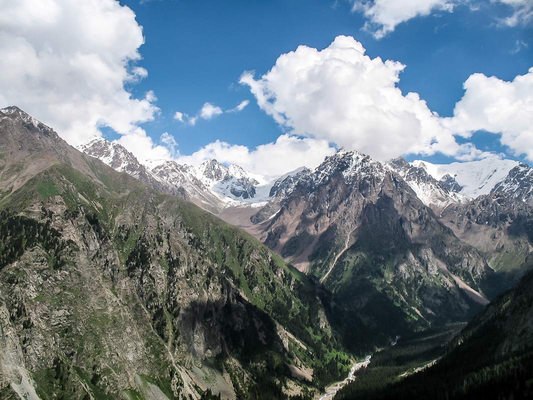
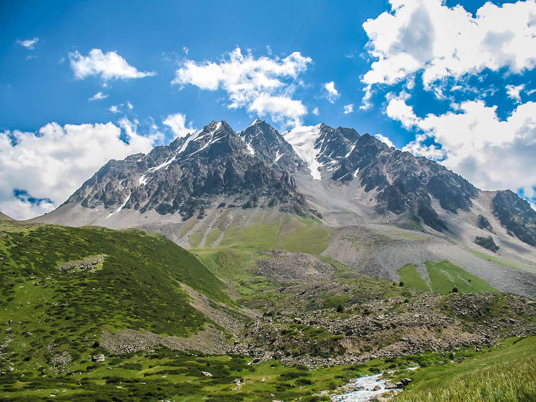
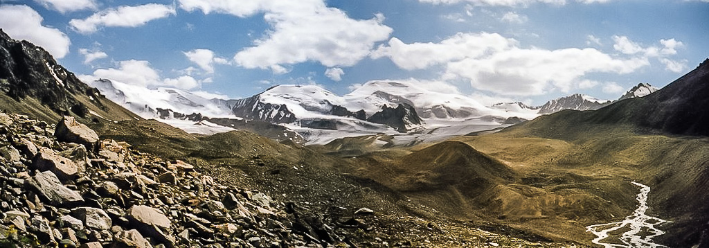
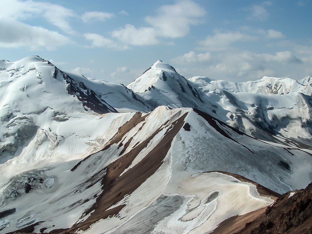
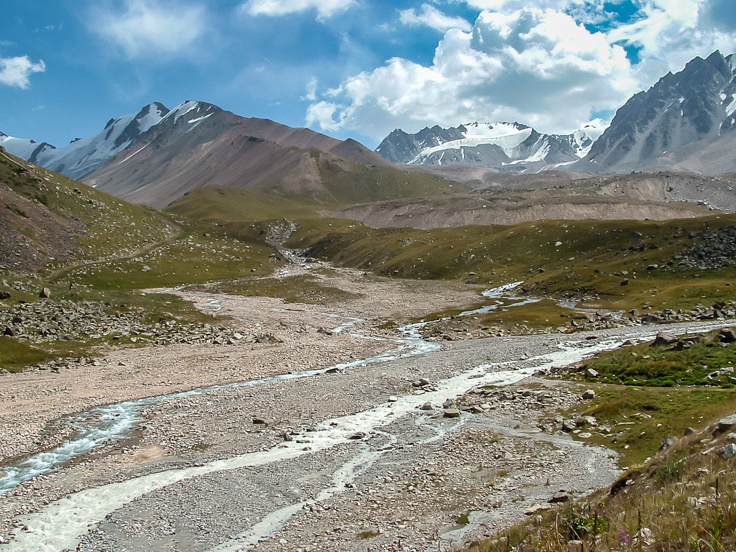
A long, hard day. We get up early and go to the light Radialka (7 miles one way) to the glacier Dmitrieva. To make it easier to cross the river must leave as soon as possible. We skip over the rocks, go around the huge number of streams. We went out on the edge of the glacier (height of about 3,600 m), admire the wall of Trans-Ili Range, see the passes Zauraltsev, Festival, Exploration. On the other side of passes already Kyrgyzstan. Go back to the tents, lunch, camp. Today we need to climb another 400 meters up the side of the pass Tourists. Parking on the moraine at an altitude of 3400 meters If enough strength to crawl to a place with a view of the glacier and the future of tourists pass.
Distance: 16 km. Set the height of 1000 m
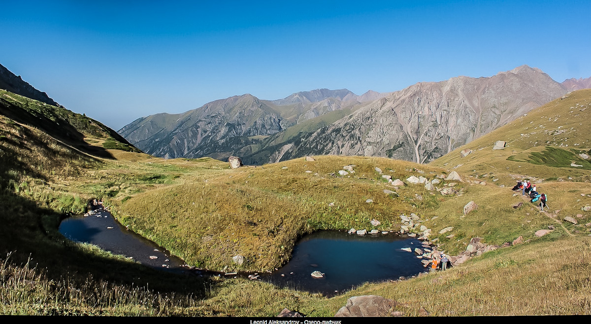
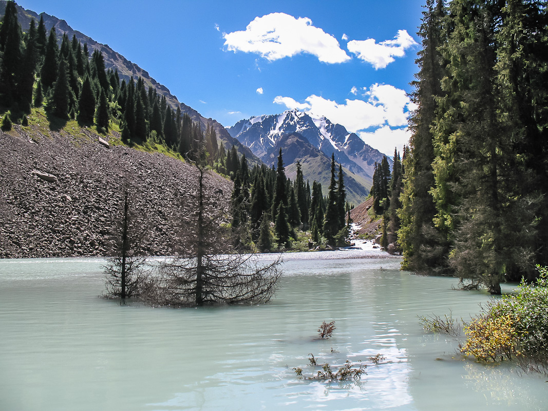
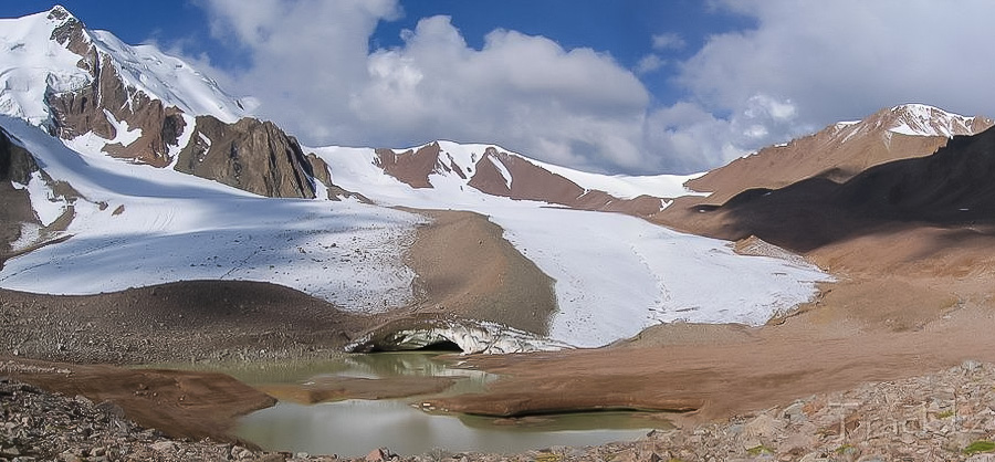
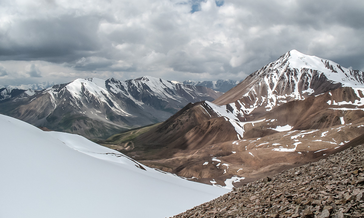
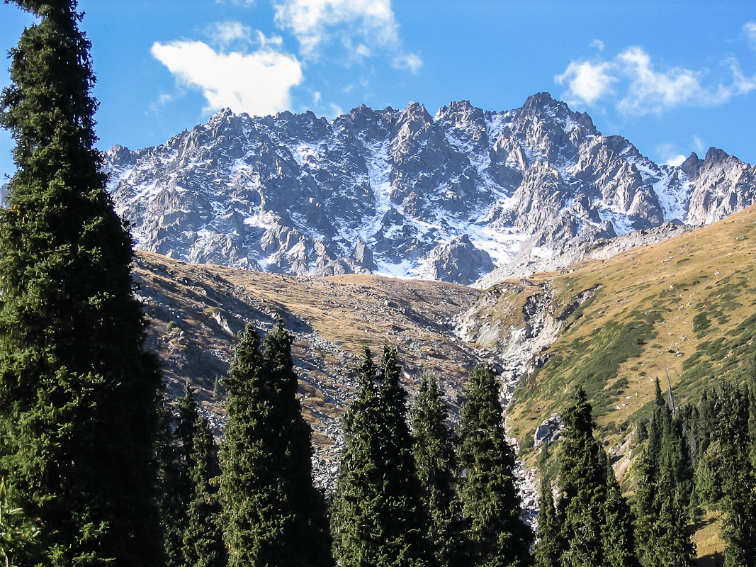
Early rise. The gentle glacier (gated) ascends to the pass Tourisme (1A 4000m) Pogrebetskiy between the peak (4231 m) and the peak of Soviet Mountaineers (4378 m). The descent from the pass of tourists to the glacier is along Muddy snowfield, then along sypuhe medium and large size (boulders over 1 m). After we leave debris on moraine and down on it to the creek Muddy, and then to the Lake River. We went out on a dirt road leading to the BAO (Big Almaty Lake). Accommodations at the Lake River (elevation 3000 m).
Distance: 20 km. Climb: 700 m
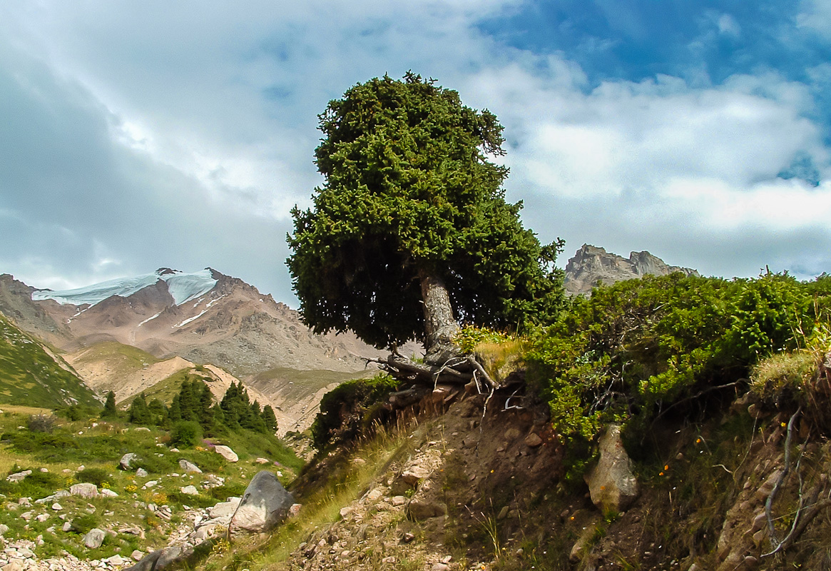
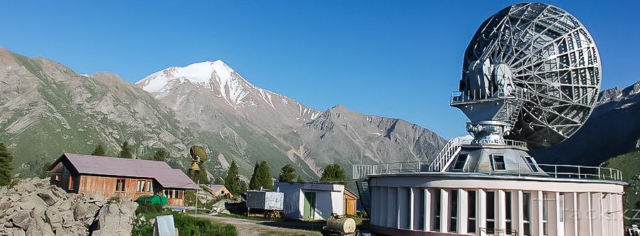
According to the primer down to the Big Almaty Lake, go around it, find ourselves on the road to Cosmostation. A bit of asphalt, and re-sokraschenku jump off the trail. We go up to the pass Dzhusaly Kosen (IBP 3375 m). Further down the steep grassy slopes down to the river cool. Leshkin up camp at a clearing - a beautiful place with green grass, flowers and plenty of firewood. 2700 m height overnight
Distance: 23 km. Climb: 400 m
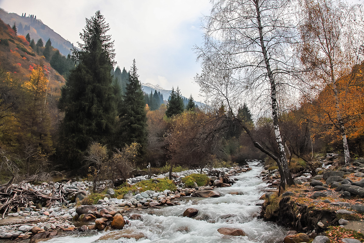
The wide-trodden path down to the hot springs at the resort sulfide Almaarasan. If you wish to try the healing vodichku or accept fragrant bath. From the resort in a van leaving for Almaty, in a familiar hostel.
Distance: 23 km. Climb: 400 m
Weather in the mountains can work wonders - the snow-covered mountain passes, wash off mud flows entire valley, just do not let out of the tent rain. Therefore, we are laying a backup plan in the day, just in case.
If you are lucky with the weather and the route will be passed in time, this day will be devoted to the sights of Almaty. Or, you can not run directly into the city and stay for one more night on Aleshkina clearing.
It is assumed that the previous night we had been in the city, then you can buy tickets including for morning flights.
day 3. Pass Titov (1A, 3400m) - the upper reaches of the river Gorelnik - Moraine Lake
4 day. Gorelnik River Gorge.

5 day. Chimbulak - Pass Talgarsky Large (3200 m) - the pass Talgarsky Small (3100 m) - the river Left Talgar.
day 6. Left Talgar River - Sunny Meadow.
day 7. Poludnevka on solar glade - the river of tourists.
Day 9. Tourists pass (4000 m) - Muddy glacier.
10 days. Big Almaty Lake - Space - Dzhusaly Kosen pass (3375 m) - Alyoshkin bridge
11 days. Gorge Almarasan - hot springs - Almaty
day 12. Reserve day in case of bad weather
13 days. Flight home.