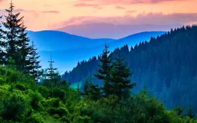
The most popular ascent of the highest peak in the Ukrainian Carpathians. From the Zaroslyak base a marked trail climbs the ridge past Mala Hoverla to the summit of Hoverla (2,061 m) and descends the same way. Not technically hard, but a full mountain day with serious elevation gain. The upper section is open, shadeless and often windy, so plan your time, water and weather.
- Distance7 km
- Ascent+840 m
- Descent−840 m
- Moving time~5 h
- Difficulty2/5
The elevation profile and track come from the route GPS data. Official tour figures may differ from the track geometry.