Springs on mountain Urbash
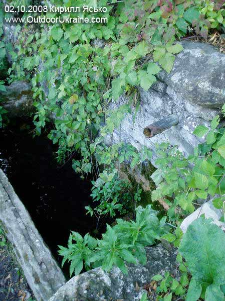 In October, 2008 investigating(researching) East Crimea, to be exact vicinities ща Kiziltash, our command(team) has found out some springs on mountain Urbash. To find a spring in Crimea, it always a holiday. And to meet a spring not designated on a map - the true event. I, at least, very much was delighted.
 From the southern party(side) the mountain Urbash is bent around with wide soil road. Actually, it is a site of a gas main Feodosiya - the Pike perch. Road beautiful (I about surrounding kinds) and convenient (sparing differences of height). Why to not demand greater? Where here to spend the night?
Campsite on mountain Urbash.
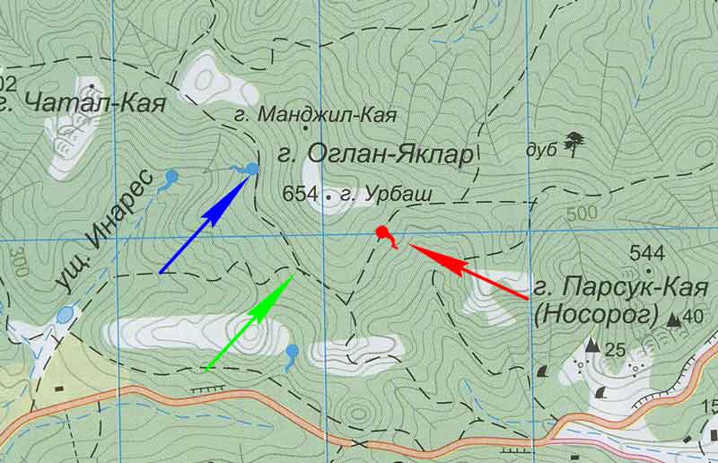
On the card(map) resulted(brought) above you see a spring (red) on a southeast slope of mountain Urbash. It(he) was drawn by me as unfortunately it(he) is not designated in atlas NPTS "Sojuzkarta".
GPS coordinates of a spring on mountain Urbash: 44°54,0251 N 35°4,2540 E WGS-84
And the spring in fact notable - though also not too deep, but works the year round.
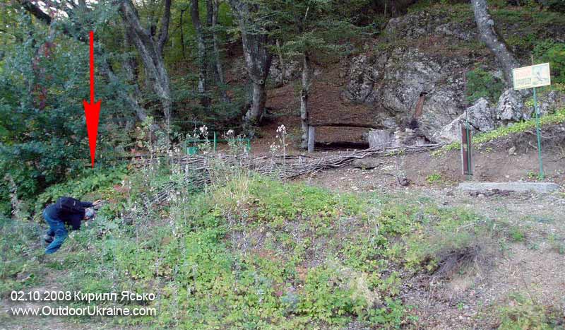
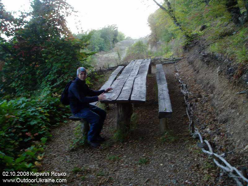
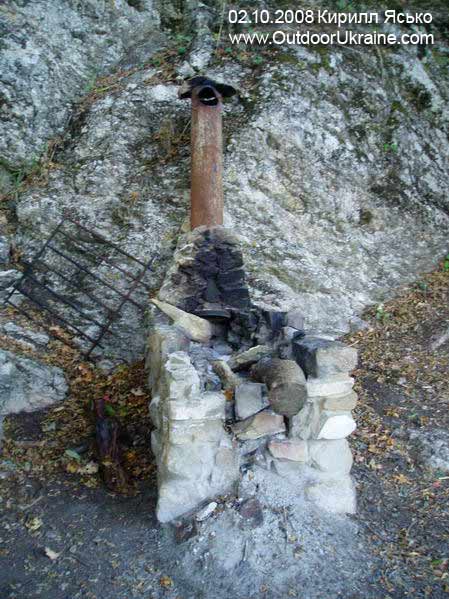
And to find this source easy. It(he) it is direct at road (gas main), on its(her) northern party(side). Directly above a spring foresters have organized vacation spot (turstojanku). Huge tables for feasts, a bench, an oven - kostrishche and the tablet " Protect the nature ". What is necessary to the present(true) Indian??? By the way, in photos of the Indian represents Andrey Gipich.
The place for tent is necessary to the Indian, all navsego. And with it(this) here it is difficult - to spend the night on road terribly, and a roadside too rough. Probably, sleep here on tables (a nose in salatik).
The lost road.
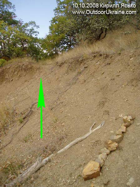
 we Continue to consider(examine) a card(map). See, green strelochka specifies a fork at southwest slope Urbasha? And so, this fork not too simply to find - road on chatal-¬бn on 2 meters above the basic road-gas main. I assume, that before road were at one level, and only construction of a gas main has divided(undressed) them. As consequence(investigation), the top road zarosla also it is almost indiscernible in bushes (the first picture, above a green arrow). I have tried to designate a former fork a vertical number(line) of stones and a pole. But most likely this sign has not gone through winter.
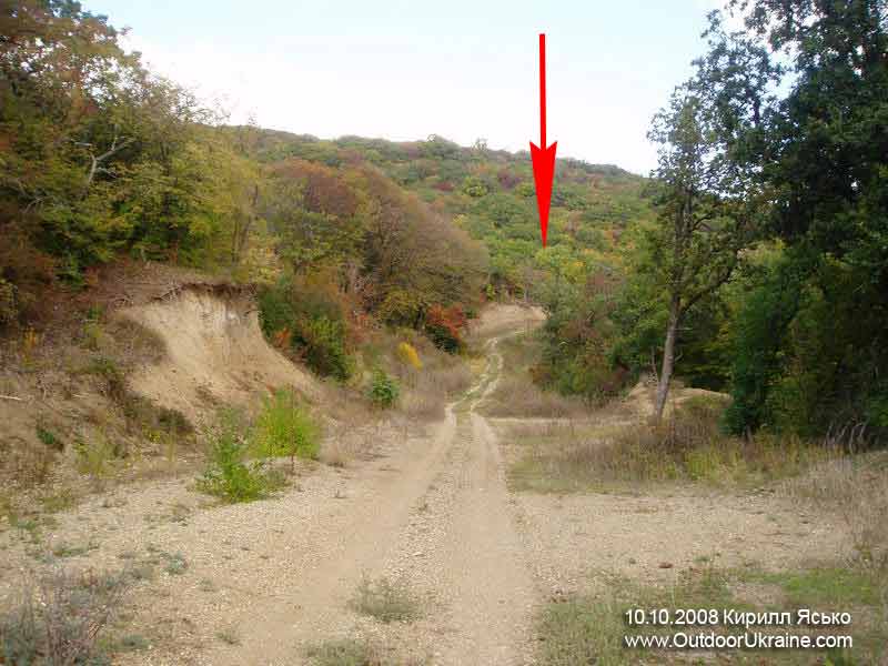
Having looked back back (the second picture) we see road-gas main the leader to described earlier turstojanke (a red arrow).
The western group of springs.
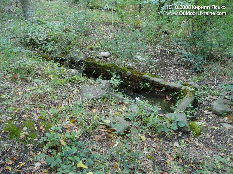
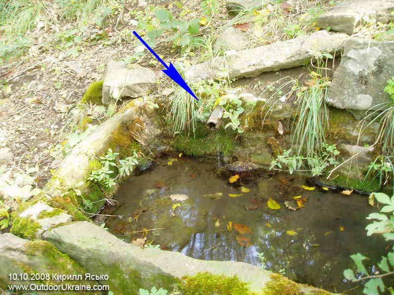
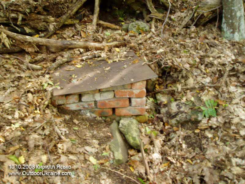
If all of you will find road on chatal-¬бn traversiruja mountain Urbash from the West will find out some more springs similar to drinking bowls. One of them is designated on a card(map) (at a dark blue arrow). Exact coordinates now I can not write (mine GPS has unexpectedly left for holiday). But I shall tell, that here it is cosy enough: a dense wood, there do not go machines(cars), run kabanchiki. An excellent(a different) place for a life.
Kirill Yasko, for Jury Yezersky's project " Springs of Crimea ".